
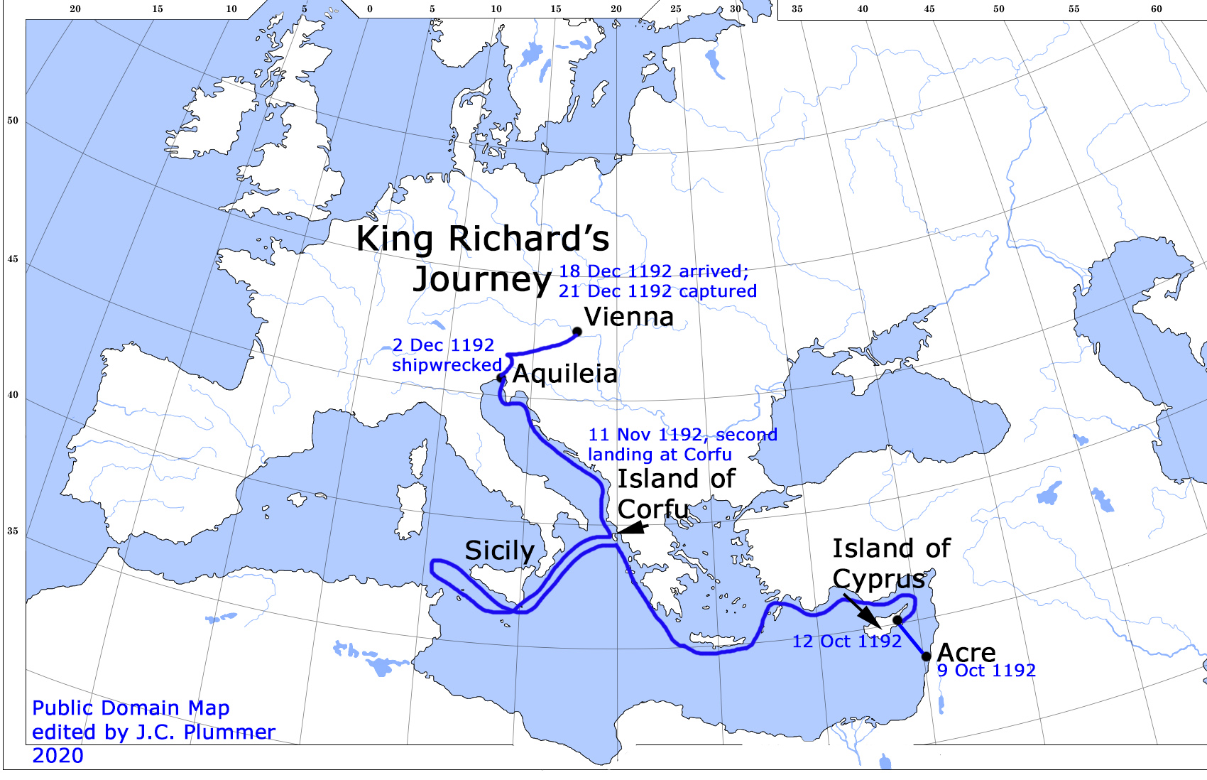
This map shows King Richard’s journey after leaving Acre on October 9, 1192. Richard and his companions made it as far west as Sicily before learning that mercenaries were stationed in all the ports, ready to capture him as soon as his ship landed.
Historians are unsure of why he had such a small group with him at this point. But it is clear that he could not fight his way through these ports to reach Aquitaine. Therefore, he made sure that his ship was seen along the coast of Sicily before he turned around and went back to Corfu.
This trick worked, as many of his enemies were certain that he would arrive somewhere along the coast of southern France soon. By the time they realized that he was not coming, he had returned to Corfu.
Also, traveling through the straits of Gibraltar was just too dangerous using 12th century technology.
Notice how closely the ship stayed to the coast. This was the standard way of traveling at the time, when losing sight of the shore could result in tragedy.
Posted on